01
Detour
Yosemite National Park
Worth the detour if Tioga Pass is open (roughly June–October): granite walls, waterfalls, and Glacier Point. Adds a day but it's the trip's crown jewel.
Road trip guide
570 miles from the Golden Gate to the neon — canyons, Route 66 ghost towns, and the Mojave in between.
Estimate your fuel cost for this drive →
Hear a stop
This is how Wanderply narrates every stop of your trip — the audio a Trip Pass saves to your phone for offline drives. See pricing
Narrated tour
7 narrated stops · ~8 mins of audio · plays offline once saved
One payment, yours for good — no subscription. Or get every tour + your own trips narrated with Pro.
Quick answer: the drive from San Francisco to Las Vegas is about 570 miles and takes 8½–9 hours without stops. The fastest way is I-580 to I-5 south, east across the Central Valley to Bakersfield, over Tehachapi Pass on CA-58 to Barstow, then I-15 north into Vegas. Bakersfield is the natural halfway point; Barstow and Baker are the last real services before the desert run.
The drive from San Francisco to Las Vegas is one of the great American road trips — and how you route it changes the whole trip. The fast way (I-5 to CA-58) covers 570 miles in about nine hours; the memorable way threads Yosemite's high country, the old Route 66 towns of the Mojave, and a ghost town or two before the Strip lights up the horizon.
This guide lays out the classic stops, a relaxed four-day plan, and what to expect at each one. When you're ready, let Wanderply build your version — it plans the days around your pace and must-dos, then narrates every stop like a podcast for the drive.
The route
Worth the detour if Tioga Pass is open (roughly June–October): granite walls, waterfalls, and Glacier Point. Adds a day but it's the trip's crown jewel.
The Central Valley's country-music town and a natural first-night stop. Great basque food and a good base before the climb into the mountains.
A famous railroad spiral where a mile-long train crosses over itself. A quick, free photo stop as you climb out of the valley.
Mother Road murals, the Route 66 Mother Road Museum, and classic neon. The gateway to the Mojave.
A restored 1880s silver-mining town in the hills above Barstow — mine tours, wooden boardwalks, and desert views.
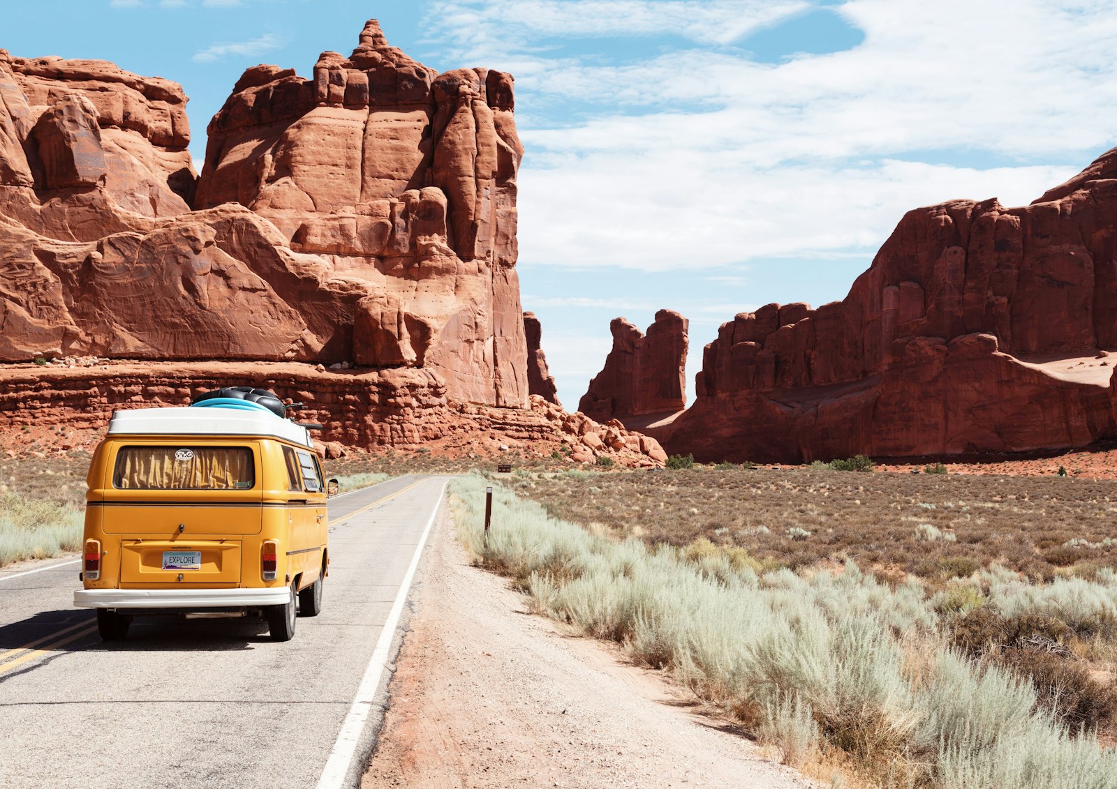
Singing sand dunes, Joshua tree forests, and lava tubes — a quieter, wilder alternative to the interstate straight-shot.
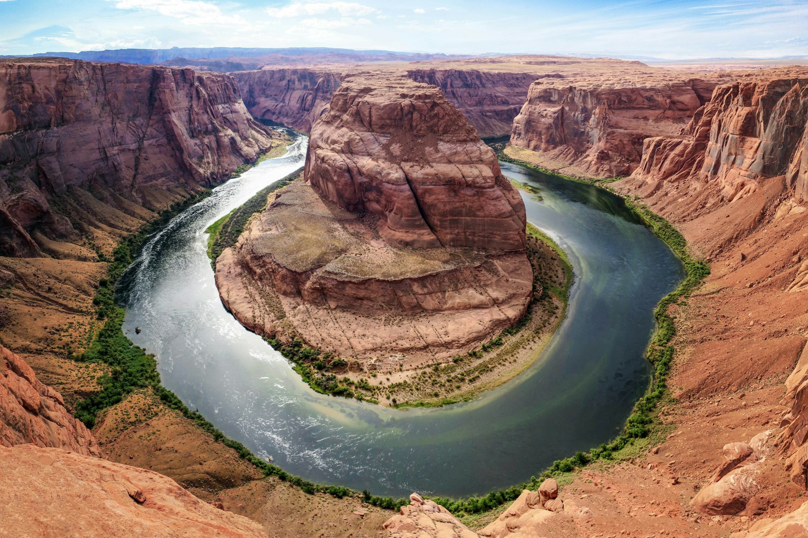
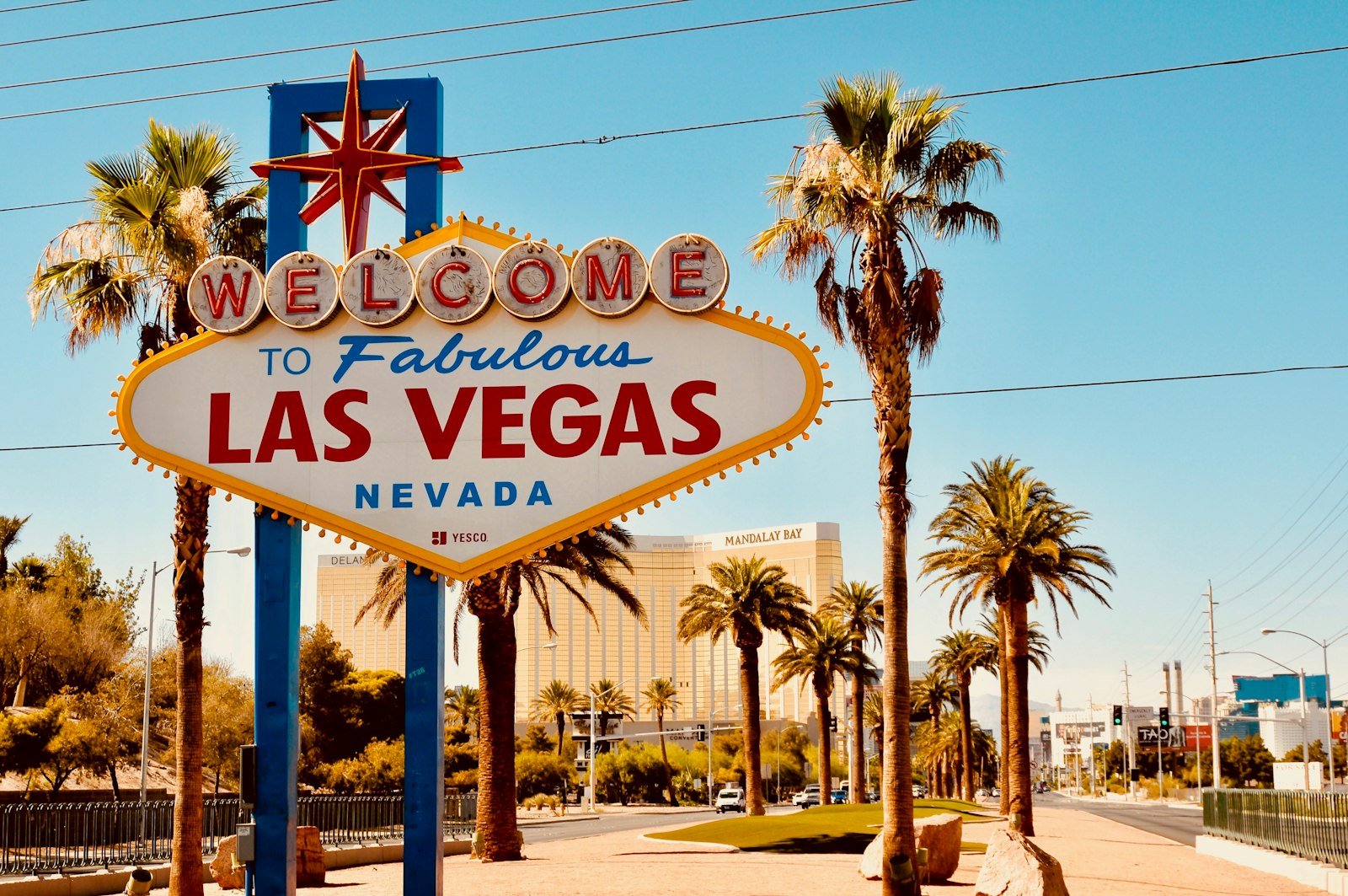
The Strip, the Sphere, world-class dining, and a base for day trips to Hoover Dam and the Grand Canyon's West Rim.
Suggested plan
Day 1
Leave the Bay early, climb into the Sierra, and overnight near the park (or Bakersfield if you're skipping Yosemite).
Day 2
Descend through Tehachapi to Barstow. Walk Route 66, tour Calico Ghost Town, overnight in Barstow.
Day 3
Detour into Mojave National Preserve, then roll into Vegas by evening. Check in, hit the fountains.
Day 4
Sphere, a Strip walk, and a day-trip option to Hoover Dam or Red Rock Canyon.
Wanderply doesn't just plan the San Francisco → Las Vegas route — it narrates every stop like a podcast you play in the car, with the history and the story of each place. And it all works offline, the whole way.
Build this trip & hear it →Loading typical conditions in Las Vegas…
Some links are affiliate links — booking through them supports Wanderply at no extra cost to you.
Good to know
About 8½–9 hours of driving for roughly 570 miles via I-5, CA-58 and I-15. Leaving the Bay Area at rush hour or on a Friday afternoon can add an hour or more, so most people start before 7am.
About 570 miles on the fastest route (I-5 south, CA-58 through Bakersfield and Tehachapi, I-15 from Barstow). The scenic routes through Yosemite and the eastern Sierra or Death Valley are a similar distance on the map but take 11+ hours of driving.
Yes. It's a long but straightforward day on interstates and divided highways. With two drivers and two or three short stops, expect 10–11 hours door to door. In summer, try to cross the Mojave before the afternoon heat.
Bakersfield is almost exactly halfway (about 280 miles from San Francisco) and has plenty of food and hotels. Kettleman City on I-5 is the classic quick gas-and-food stop earlier on, and Barstow is the last big town before Las Vegas, about 155 miles out.
For speed: I-5 south, CA-46 or CA-58 east to Bakersfield, CA-58 over Tehachapi Pass to Barstow, then I-15 north. For scenery: add Yosemite over Tioga Pass (usually open roughly June to October) and drop down US-395, or swing through Death Valley.
Yes. Fast chargers are common along the fastest route, with large sites at Kettleman City and chargers in Bakersfield, Mojave, Barstow and Baker. Check PlugShare for current stations, and arrive at each with some buffer for the long climbs over Tehachapi Pass and out of Baker.
Spring and fall. The Mojave stretch regularly passes 110°F in July and August, and Yosemite's high passes close in winter, which pushes the scenic route back to the interstates.
The stops are the trip. Calico Ghost Town, Route 66 in Barstow and Mojave National Preserve turn a long haul into a real adventure, and each adds well under two hours.
Fill up in Barstow or Baker, carry water, and expect gas in Baker and Primm to cost more than in Barstow. Sunday afternoons bring heavy traffic heading the other way on I-15, so the drive out to Vegas is usually easier than the drive home.
Tell Wanderply your dates, pace, and who's coming — it builds a day-by-day plan around your must-dos and narrates the whole drive.
Plan your San Francisco → Las Vegas tripWanderply Road Notes
New hand-written road-trip guides like this one, plus the odd planning tip — at most two emails a month.
AI assistant · a person on the team can step in
Loading the chat…
AI replies can be wrong — a person reviews anything about billing or your account. Please don't share passwords or card numbers.